Mission planning
Draw flight zones, define routes, assign operators, set altitude rules, and prepare a checklist before the drone leaves the ground.
Aviation / AI / Field Operations
A complete software layer for drone teams: mission planning, live video, telemetry, map overlays, AI detection, evidence capture, and inspection reports.
The project turns drone work into a usable operating system. A pilot can plan a mission, fly the route, capture findings, and hand the office a clean report instead of scattered video files, screenshots, coordinates, and notes.
Problem
Most drone operations produce raw media but not a structured workflow. Teams collect video, then manually review footage, write notes, export clips, mark locations, and build reports later. The AXIS approach connects every step: flight, detection, review, evidence, and reporting.
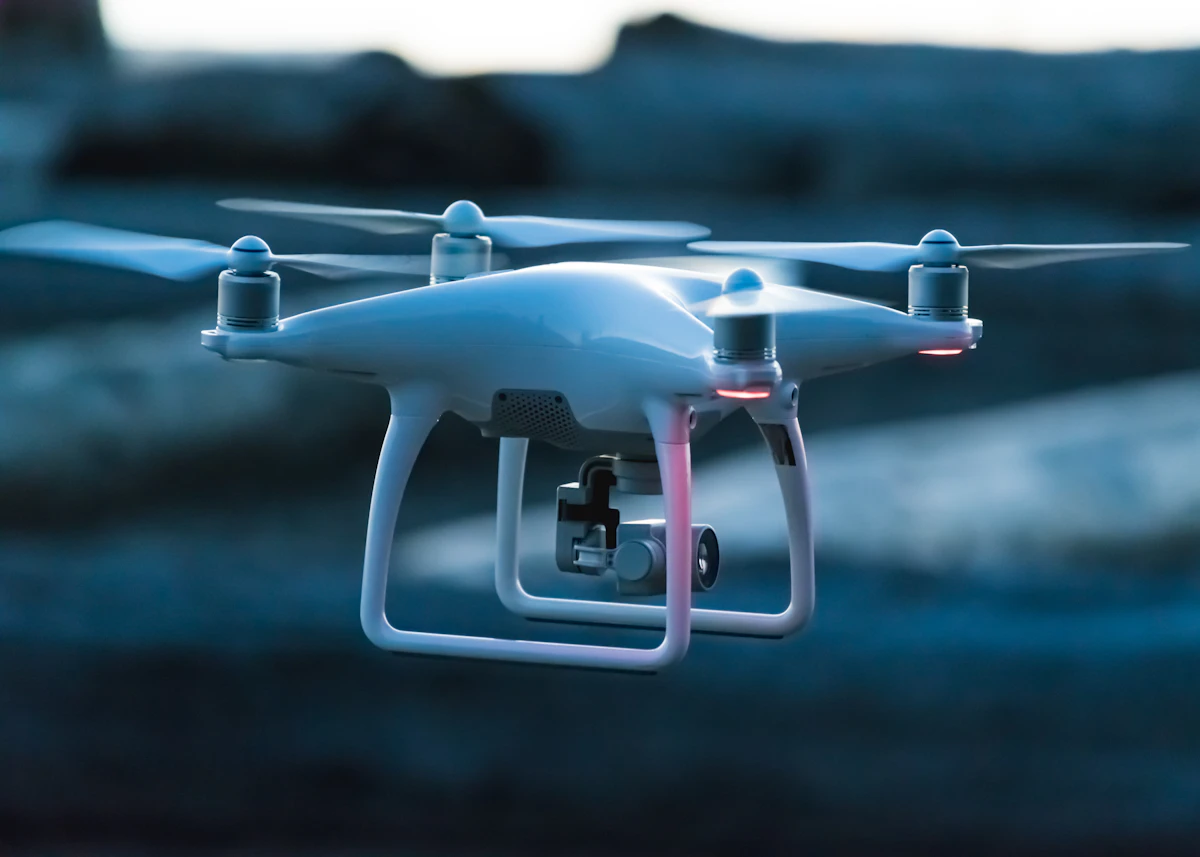

Draw flight zones, define routes, assign operators, set altitude rules, and prepare a checklist before the drone leaves the ground.
Show video, location, battery, speed, altitude, GPS quality, and pilot notes in one interface for the team watching the mission.
Run object detection or inspection models to flag people, vehicles, cracks, assets, vegetation, damage, or movement depending on the use case.
Save clips, images, coordinates, timestamps, operator notes, and detection confidence so findings are traceable after the flight.
Let teams review detections, accept or reject findings, group events, and export only the useful evidence instead of watching hours of video.
Generate reports with maps, findings, media, comments, severity labels, and recommendations for clients or internal teams.
"The goal is not to make a drone look impressive. The goal is to make every flight produce decisions, reports, and a record the team can trust."
AXIS project note
Build plan
Next